| 22nd February 2020 09:23 AM | |
| anu mathapati | anu mathapati i want a details about how to make a civil engineering project in 8th sem |
| 14th December 2016 05:34 PM | |
| Rajkumar Agarwal | Re: VTU GIS Notes Ok, here I am providing you the notes of Geographic Information System GIS of B.Tech Civil Engineering of Visvesvaraya Technological University (VTU). VTU B.Tech Civil Engineering Geographic Information System GIS syllabus Topics An overview of GIS How GIS data are captured, stored, retrieved, analyzed & displayed Where to go for more information GIS software and its functionality How to use a basic GIS (ArcView and Idrisi) What is a GIS? What in the world is a "GIS"? —Item on the Internet's comp.infosystems.gis FAQ. GISs are simultaneously the telescope, the microscope, the computer, and the Xerox machine of regional analysis and synthesis of spatial data. (Ron Abler, 1988) Where Did GIS Come From? GIS is built upon knowledge from geography, cartography, computer science and mathematics. Geographic Information Science is a new interdisciplinary field built out of the use and theory of GIS. Defining GIS Different definitions of a GIS have evolved in different areas and disciplines. All GIS definitions recognize that spatial data are unique because they are linked to maps. A GIS at least consists of a database, map information, and a computer-based link between them. 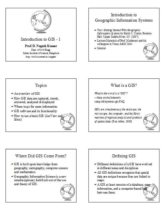  For complete syllabus here is the attachment Contact- Visvesvaraya Technological University Jnana Sangama, VTU Main Road, Machhe, Belagavi, Karnataka 590018 |
| 14th December 2016 05:09 PM | |
| Unregistered | VTU GIS Notes I want the notes of Geographic Information System GIS of B.Tech Civil Engineering of Visvesvaraya Technological University (VTU) so can you provide me? |

